Login   |      Register
English    中文


Libyan hurricane landsat8 raw data set


Libyan hurricane landsat8 raw data set

Label :

Date: 2023-09-18

View counts: 260

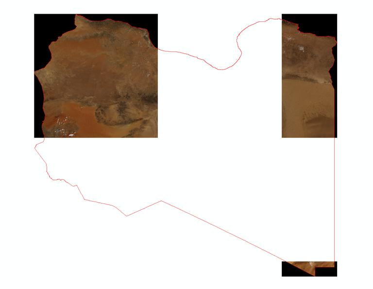
This dataset was obtained by mosaicing and cropping the raw data of landsat8 from 1 August to 9 September 2023 for the Libyan region. The data format is tiff with 11 bands, namely Coastal aerosol, Blue, Green, Red, Near infrared, Shortwave infrared 1, Shortwave infrared 2, Band 8 Panchromatic, Cirrus, Thermal infrared 1, Thermal infrared 2, with a spatial resolution of 100m.

Title alternate
Libyan hurricane landsat8 raw data set
Parent identifier
Remote sensing image
Topicategory
Geophysical
Language
English
Type
Raster
Format
tiff
Time begin
2023-08-01
Time end
2023-09-09
Creator
IKCEST-DRR
Publisher
USGS
Contributor
USGS
Organization
IKCEST-DRR
Operateson
IKCEST-DRR
Source
https://developers.google.com/earth-engine/datasets/catalog/landsat

    Sign in for comments!

Comment list ( 0 )