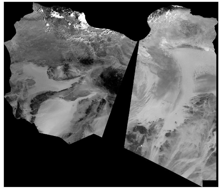
MODIS reflectance products are the most commonly used data in the process of calculating the albedo of the Earth's surface, which are divided into MOD09GA, corresponding to terra satellite. The MOD09GA product has a temporal resolution of days, a geographic resolution of 1km, and a reflectance spatial resolution of 500m. The reflectance of bands 1-7, quality assessment grade, observation range, number of observations, and 250m scan information are provided in the 500m reflectance dataset of each image. The number of observations, quality assessment level, sensor azimuth zenith Angle, solar azimuth altitude Angle, and orbit pointer information are provided in the 1km geographic information dataset.
Comment list ( 0 )
