
Located in the heart of the Eurasian continent, Kyrgyzstan is not only a key link between Eurasia and the Middle East, but also the only place through which great powers move in the east and go south and north. With an area of 199900 square kilometers, it is an inland country located in the northeast of Central Asia. It connects with China in the southeast and East, and connected with Kazakhstan in the north, Uzbekistan in the West and Tajikistan in the south.
Kyrgyzstan is rich in mineral resources. In terms of the total amount, Kazakhstan and its neighboring countries still have some advantages. More than 2,000 mineral deposits of various types have been discovered in Kyrgyzstan, with most elements in the periodic table of chemical elements. Only part of the mineral resources are obtained for industrial development, and the reserves and distribution of many resources need further exploration and research to determine the development prospects.
As of September 2014, the dominant minerals with proven reserves include gold, tungsten, tin, mercury, antimony, iron, etc. Kyrgyzstan has many lakes flowing between them and rich in water resources, the reserves rank third among the CIS countries, second only to Russia and Tajikistan. The potential hydroelectric power generation capacity is 145 billion kilowatt hours, which is only about 10% developed and utilized.
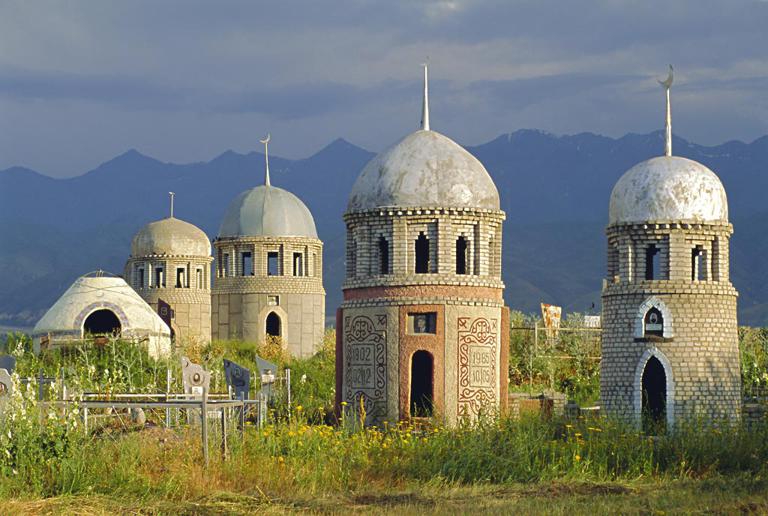
The territory is mountainous, and the elevation of the whole territory is above 500 meters, of which 1/3 of the area is between 3000 and 4000 meters above sea level. The Tianshan Mountains and the Pamir Alai mountains stretch across the border between China and Kyrgyzstan. Among them, the western part of Tianshan Mountains occupies the northeast of the territory, and the southwest is Pamir Alai mountains. The mountains are covered with snow all the year round and are covered with glaciers. Between the mountains are the Issyk-Kul Basin and Chu River Valley. Lowlands only account for 15% of the land area, mainly distributed in the Fergana basin in the southwest and the Talas River Valley in the north. Pastures account for 43% of the total area.
